The C&O Canal Towpath is a 184.5 mile path that runs along the Potomac River from Washington, DC to Cumberland, MD. From the time of its completion in 1850 the C&O Canal was used as a mode of transportation for coal and other goods between the nation’s capital and points north and west. Sadly, repeated damage from floods and the ever increasing presence of the railroad as a preferred method of transport, led to the canal’s demise in 1924.
In the years that followed discussions were had over what was to become of the canal. One suggestion was to build a highway in its place! Thanks to the work of conservationists, including Justice William O. Douglas to whom it is dedicated, the C&O Canal was preserved as a recreation area for us to enjoy. It was first designated as a National Monument in 1961, and in 1971 it became one of our beloved National Historical Parks.
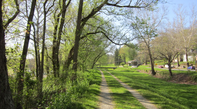
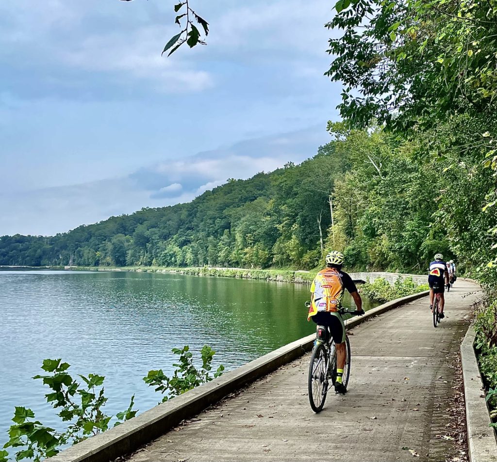
Today, as you traverse the towpath by bicycle, on foot, or even on horseback, you will travel past many picturesque, historic, and interesting places while you enjoy the beauty and serenity of the area.
We generally consider the span between Harpers Ferry and Williamsport, which works out to be about 20 miles in each direction, to be our “stomping grounds”. The following are some of the major points of interest along this section of the towpath:
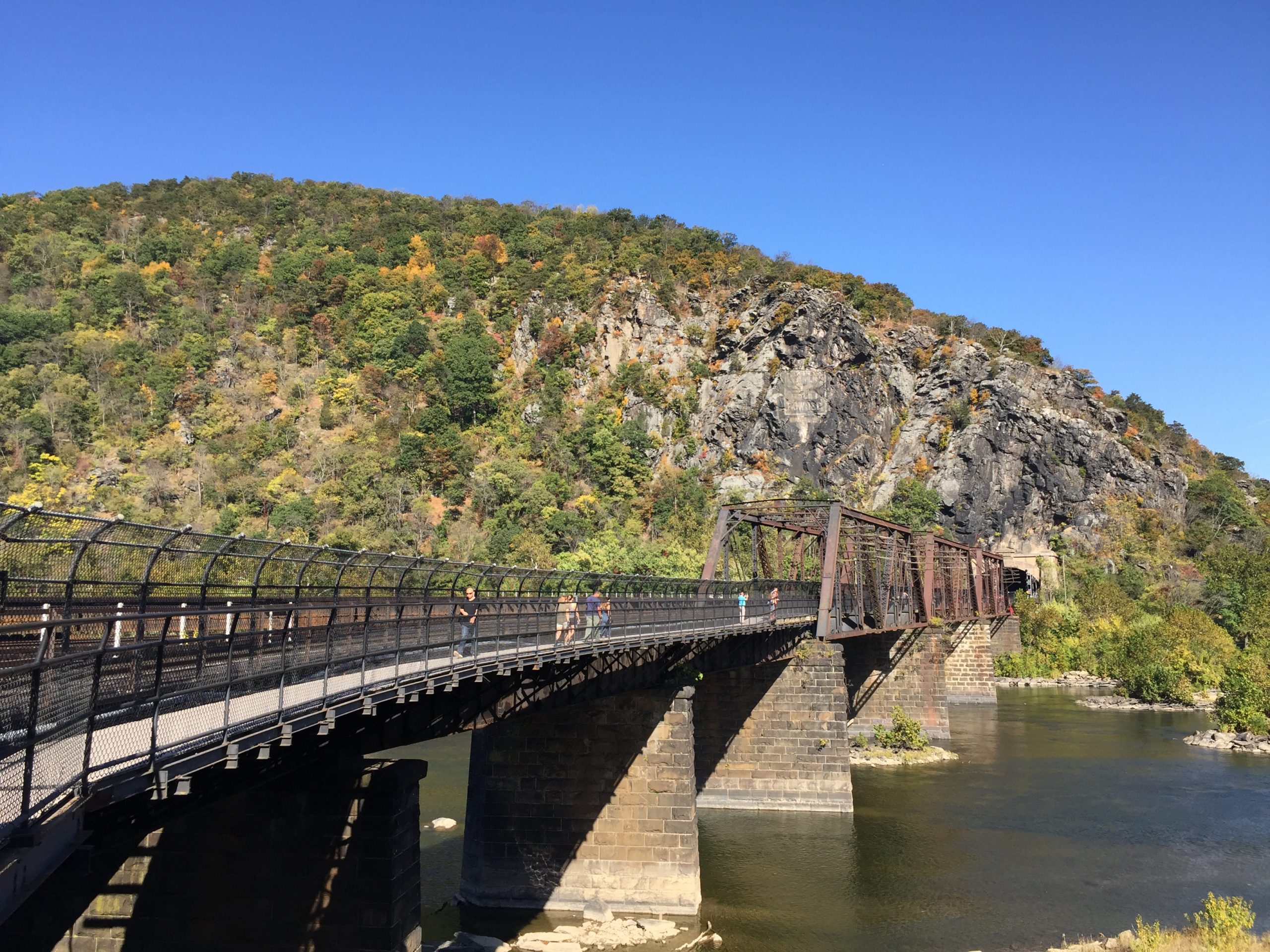
Mile Mark 60.75 – Potomac River Foot and Train Bridge
Foot bridge over the Potomac River that connects the C&O Canal Towpath and Harper’s Ferry.
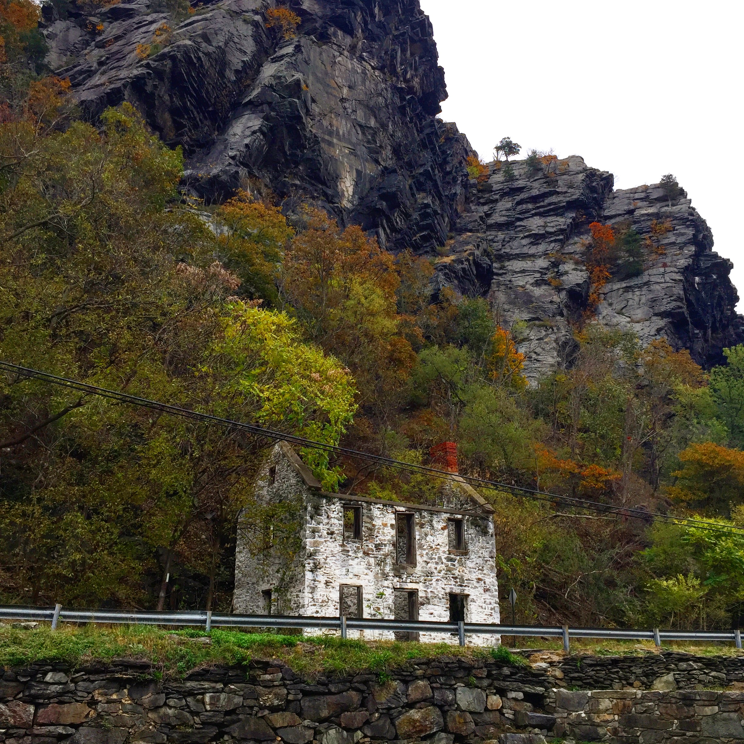
Mile Mark 60.70 – Lock 33
Nestled along the canal beneath the towering cliffs of Maryland Heights sits the remains of the Lock 33 Lockhouse. During the time the canal was in operation, Lock 33 is said to have been a bustling place of commerce surrounded by houses, stores, and sheds. Today we can only imagine what this scene would have looked like back then.
Mile Mark 61.25 – Maryland Heights Trailhead
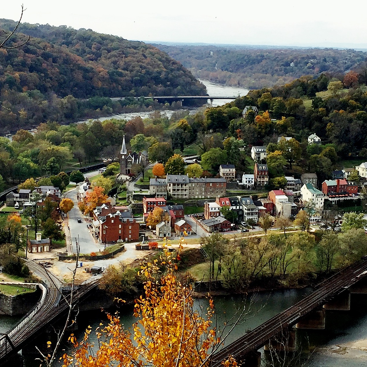
This is THE must-do hike of the area with an iconic view of Harpers Ferry from the lookout point. The hike is a bit strenuous, but worth every step! There are two small parking areas just up from the trailhead on Harpers Ferry Road. If they are full, you can park in town and walk across the foot bridge (see above) to access the trail.
Mile Mark 62.90 – Huckleberry Hill Hiker Biker Campsite
Campsite with a picnic table, fire ring, water pump, & porta-potty.
Mile Mark 64.90 – Dargan Bend
Boat ramp with parking lot, picnic tables, and restroom.
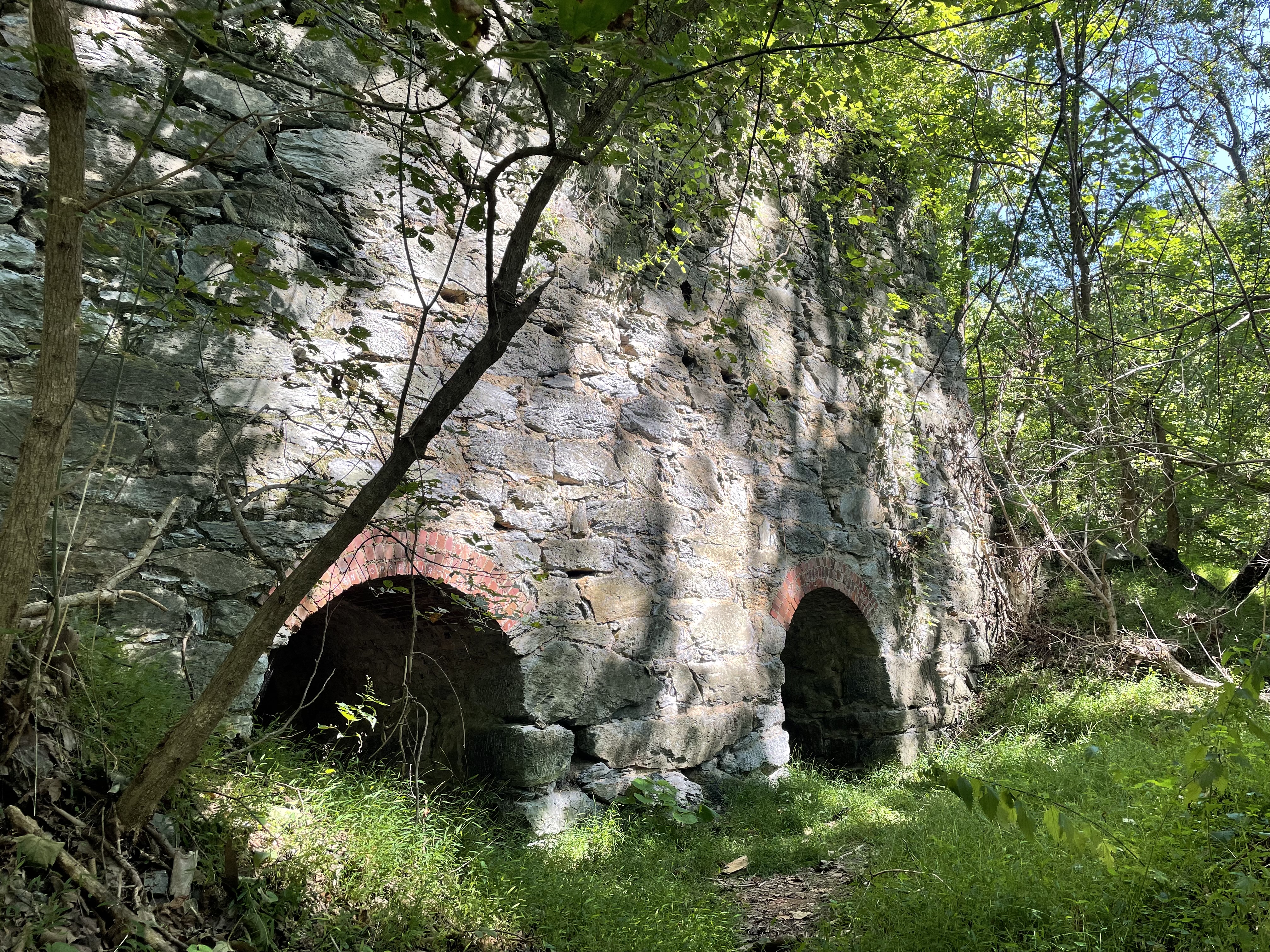
Mile Mark 65.20 – Shinhan Limestone Kiln
Explore the remains of one of the many limestone kilns that were in operation in Washington County during the 19th century.
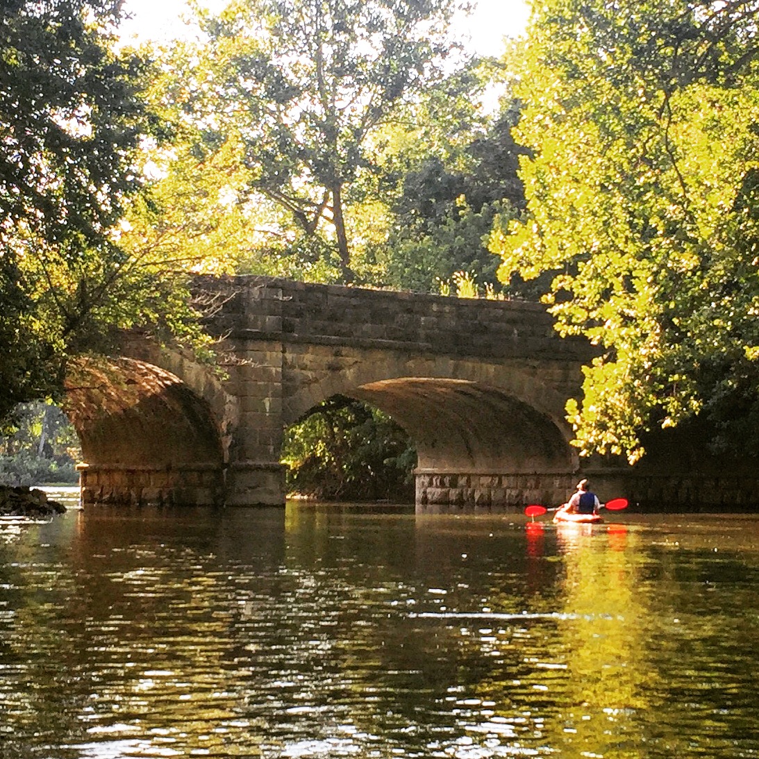
Mile Mark 69.40 – Antietam Creek & Aqueduct
At the point where Antietam Creek flows into the Potomac River, the aqueduct bridges the C&O Canal over the creek.
Mile Mark 69.60 – Antietam Creek Campground
Campground with parking area, multiple campsites, water pump, and restroom. This is one of our favorite take-out points when we’re kayaking or tubing the lower section of Antietam Creek.
Mile Mark 72.75 – Shepherdstown, WV
If you’re feeling up for a nice bike ride, Shepherdstown, WV is a scenic 9 mile trip downstream. Once you’re there, enjoy lunch at one of the quaint, old town cafes or restaurants and spend some time exploring the little shops along German St. before heading back.
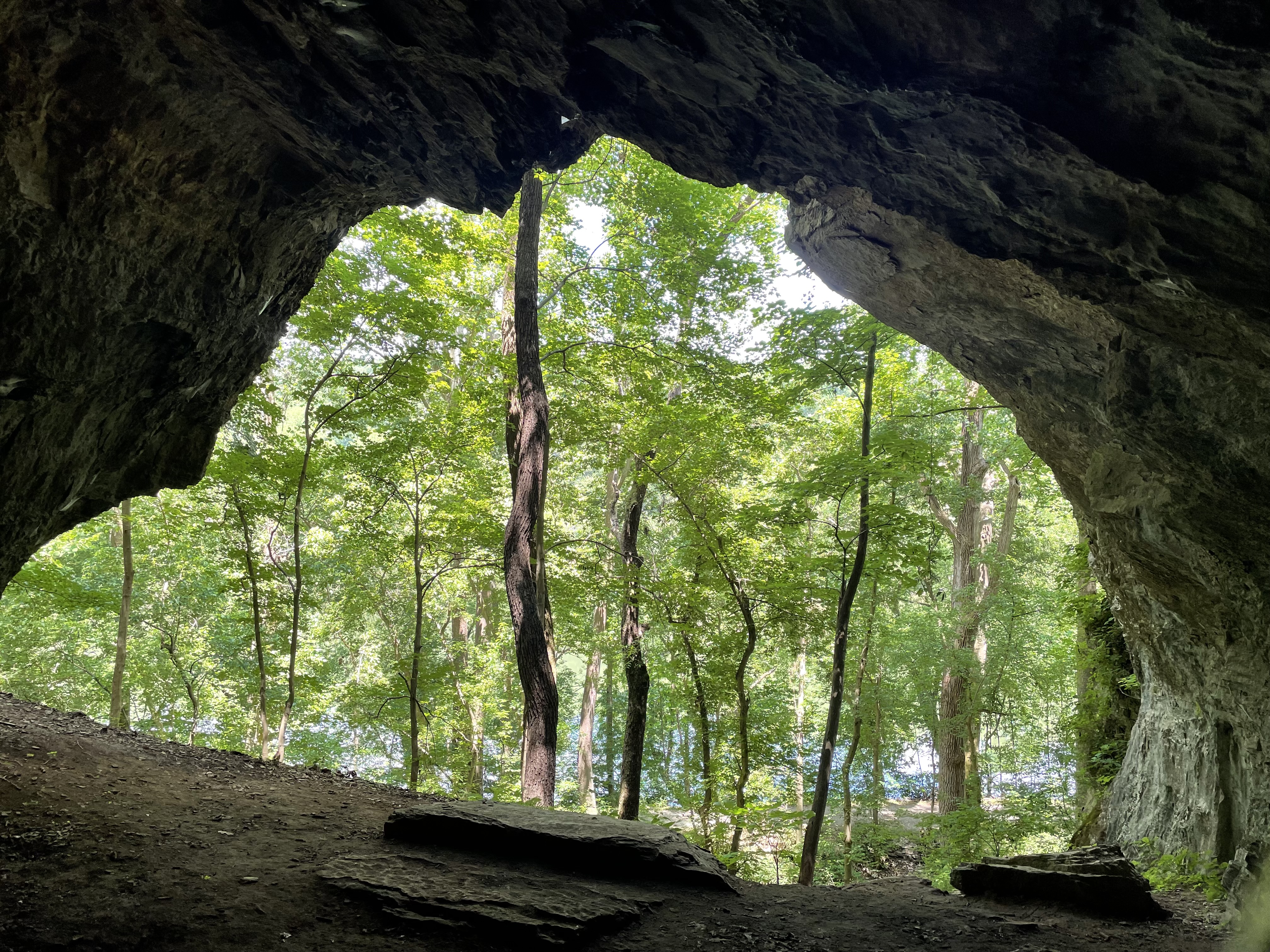
Mile Mark 75.70 – Killiansburg Cave
Killiansburg cave is famous for serving as a place of refuge for the citizens of Sharpsburg during the Battle of Antietam on September 17, 1862, the bloodiest one-day battle in American history.
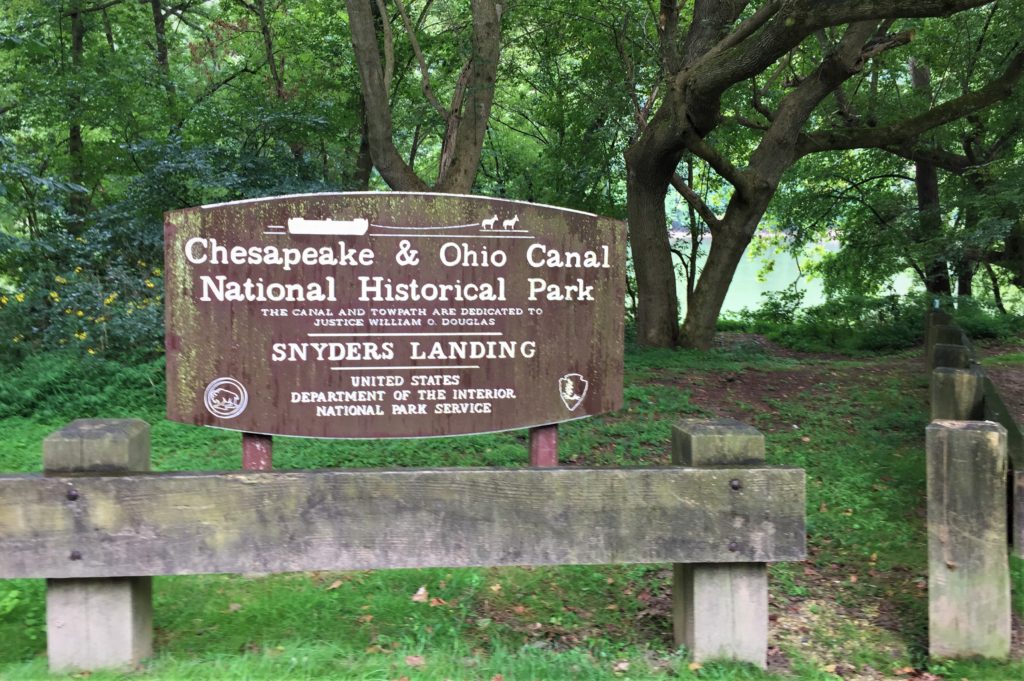
Mile Mark 76.90 – Snyder’s Landing
Boat ramp with parking lot & restroom. Features a nice flatwater area for about 1 mile upstream of the ramp.
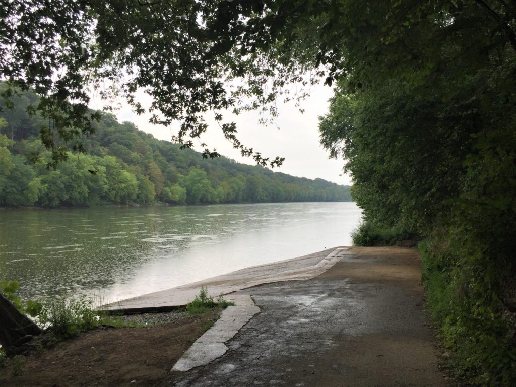
A Rainy Day at Snyder’s Landing
Mile Mark 79.00
Be on the lookout for bald eagles. We’ve seen them in this area on multiple occasions.
Mile Mark 79.40 – Lock 40
Another of the long abandoned locks that once allowed boats to be raised and lowered as they traversed the canal.

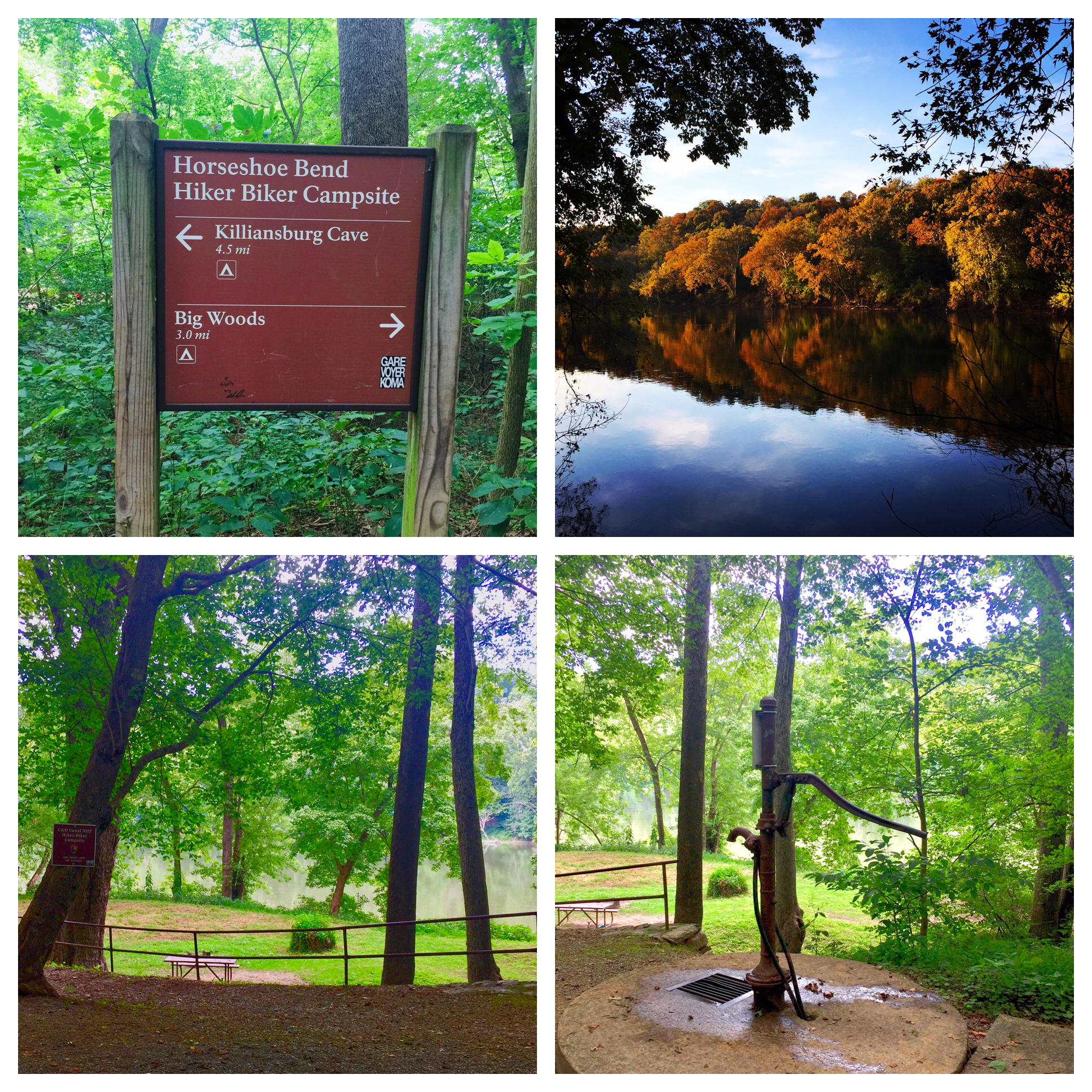
Mile Mark 79.70 – Horseshoe Bend Hiker Biker Campsite
Campsite with a picnic table, fire ring, water pump, & porta-potty.
Mile Mark 81.00 – Taylor’s Landing
Boat ramp with parking lot & restroom.
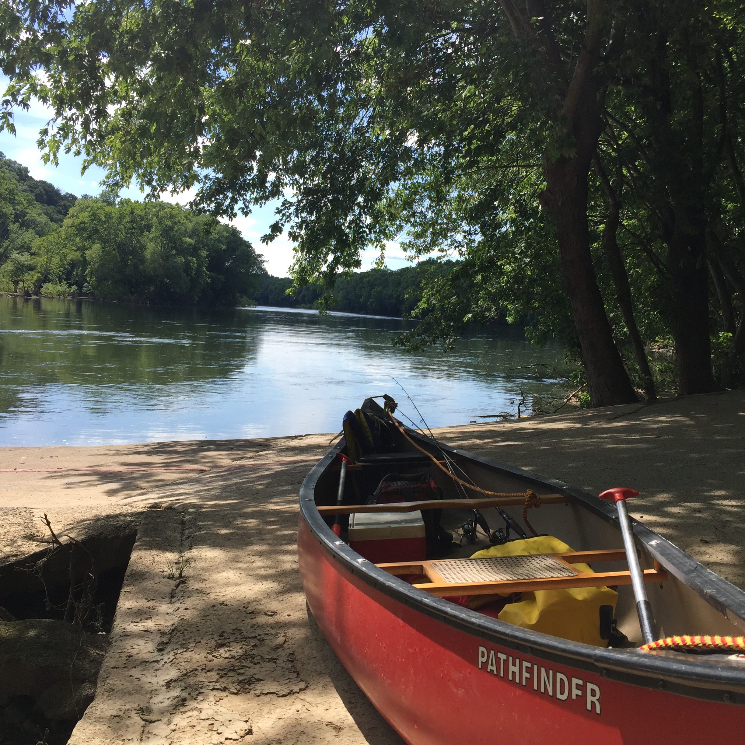
Mile Mark 81.00 – Reels & Wheels Store
Check and see whether Jerry has any of his hand-crafted “river art” pieces out for sale!
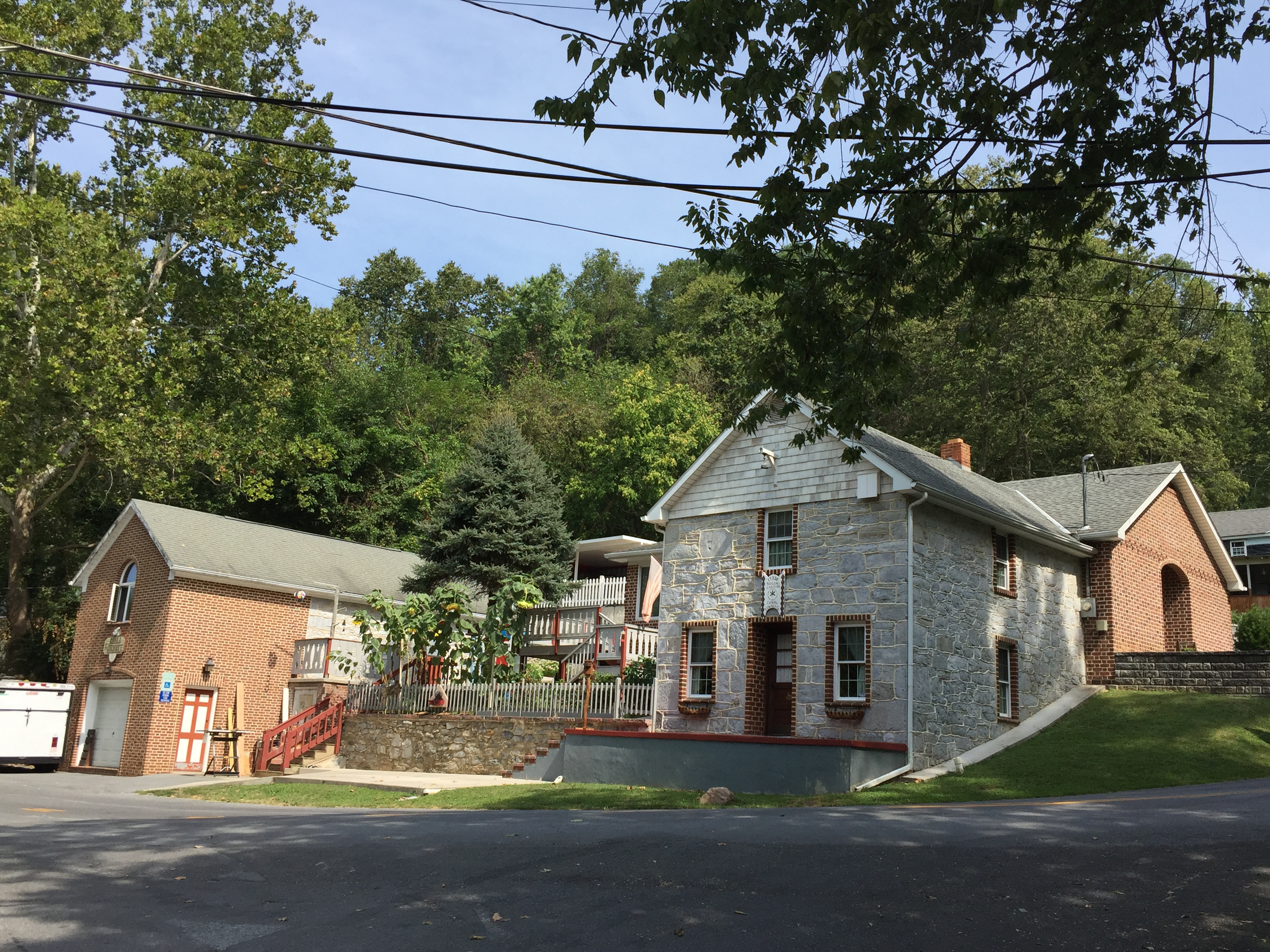
Mile Mark 81.25 – The River Bend Retreat
Your home-away-from-home during your visit to Sharpsburg. Come stay with us!

Master Bedroom 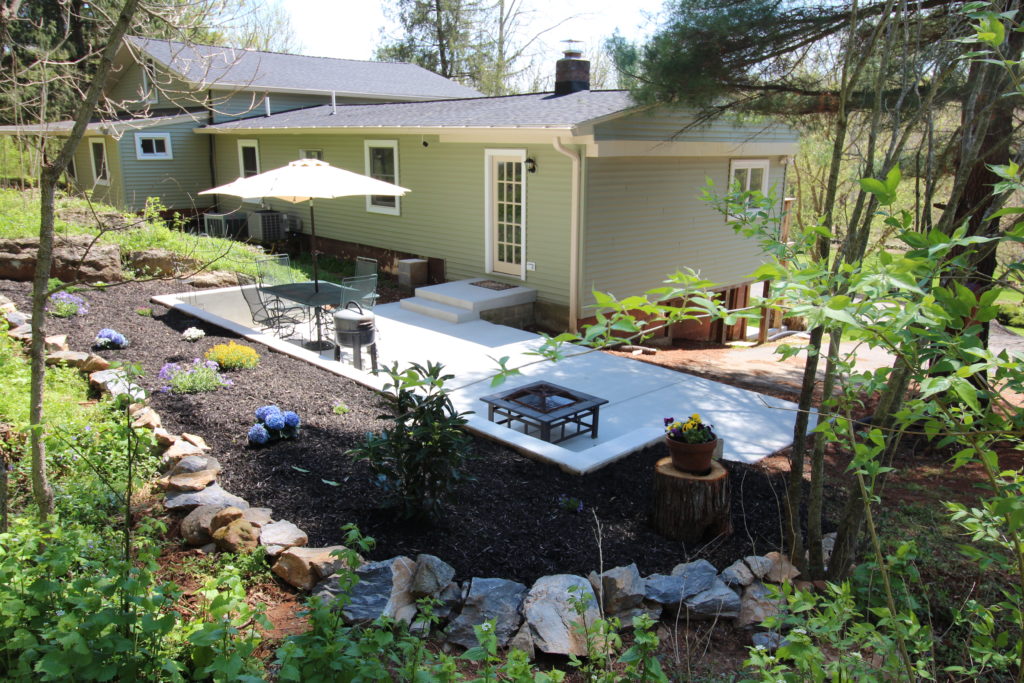
Patio 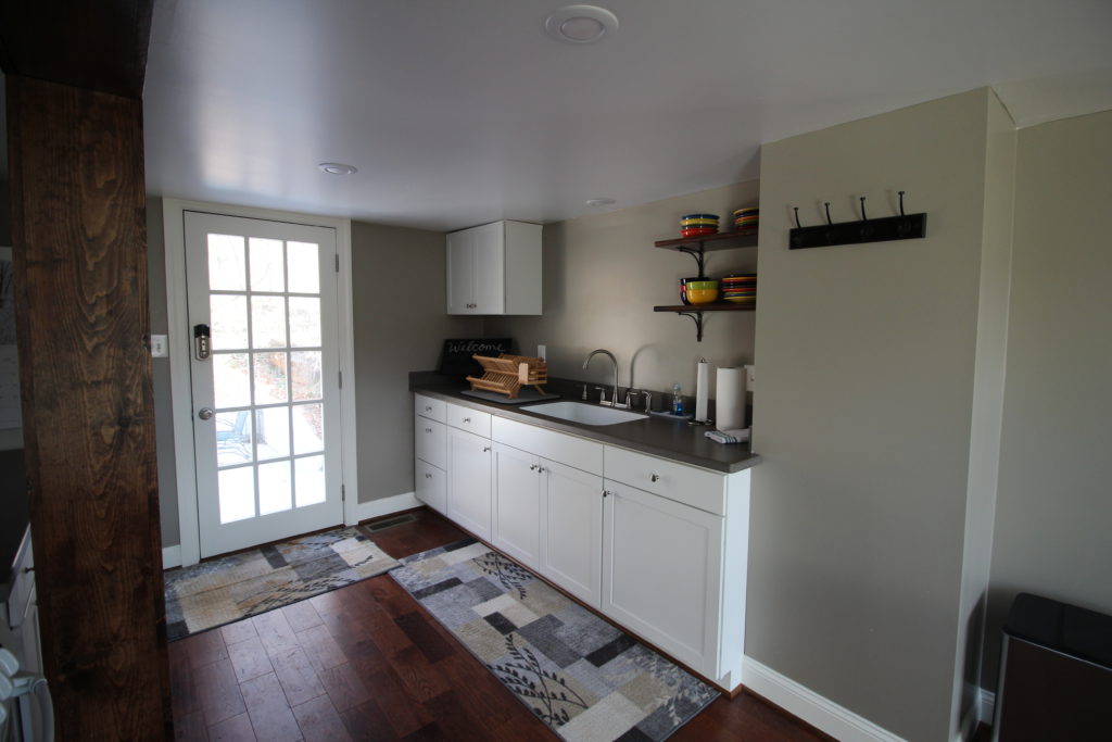
Kitchen 
Bunk Room
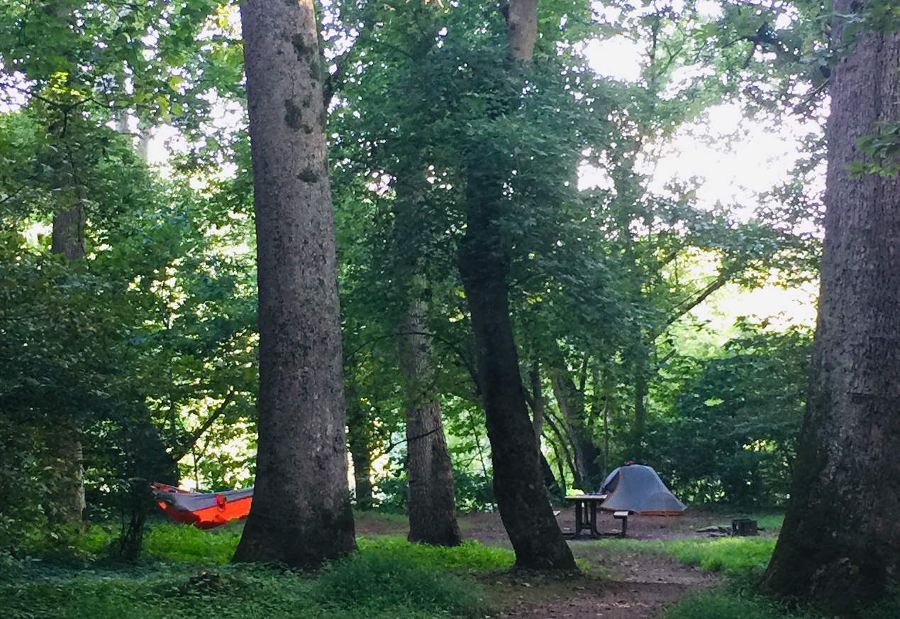
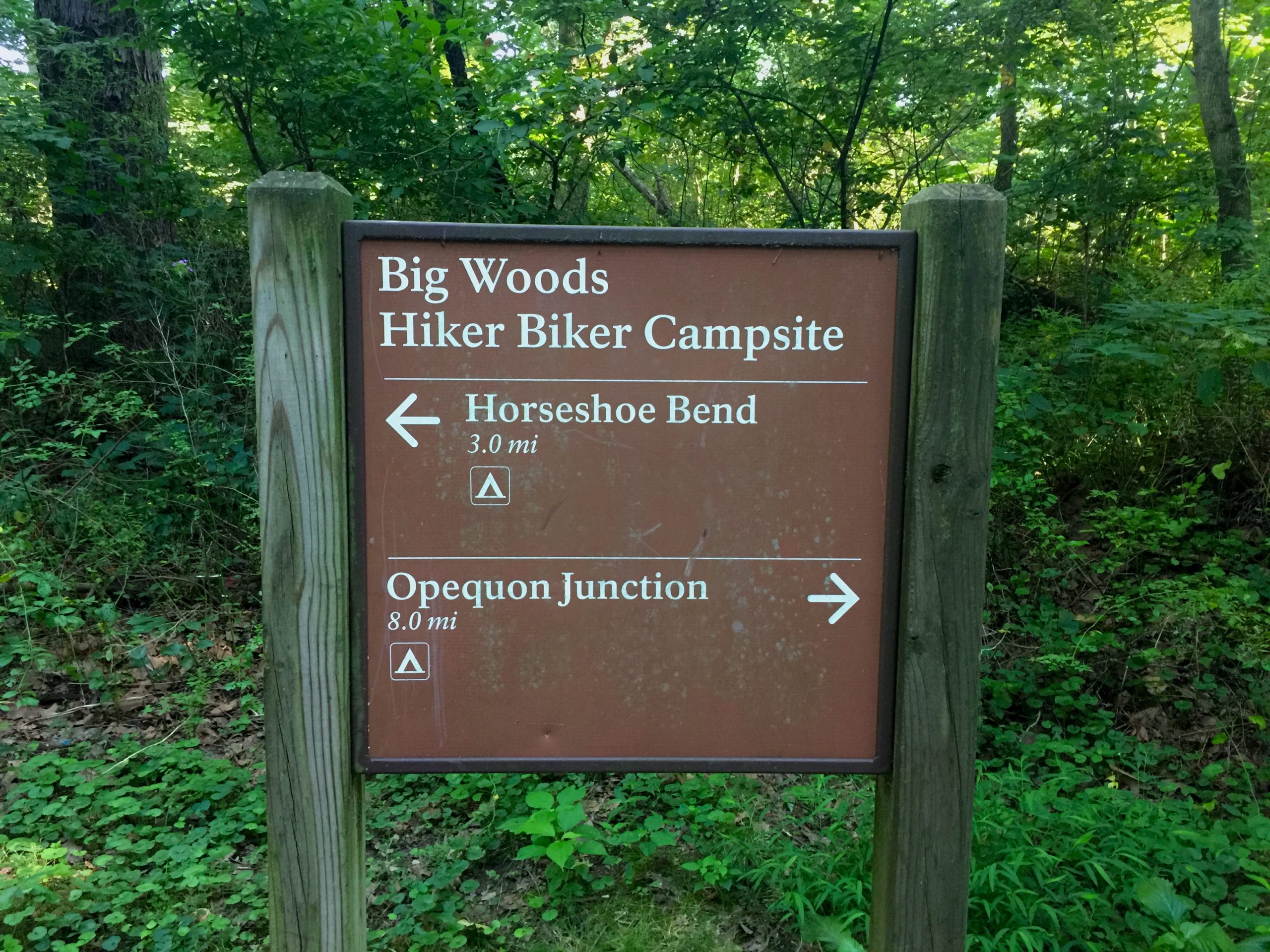
Mile Mark 82.70 – Big Woods Hiker Biker Campsite
Campsite with a picnic table, fire ring, water pump (actually down the towpath a bit from the campsite), and porta-potty. This campsite is known for being one of the more secluded sites along the towpath.
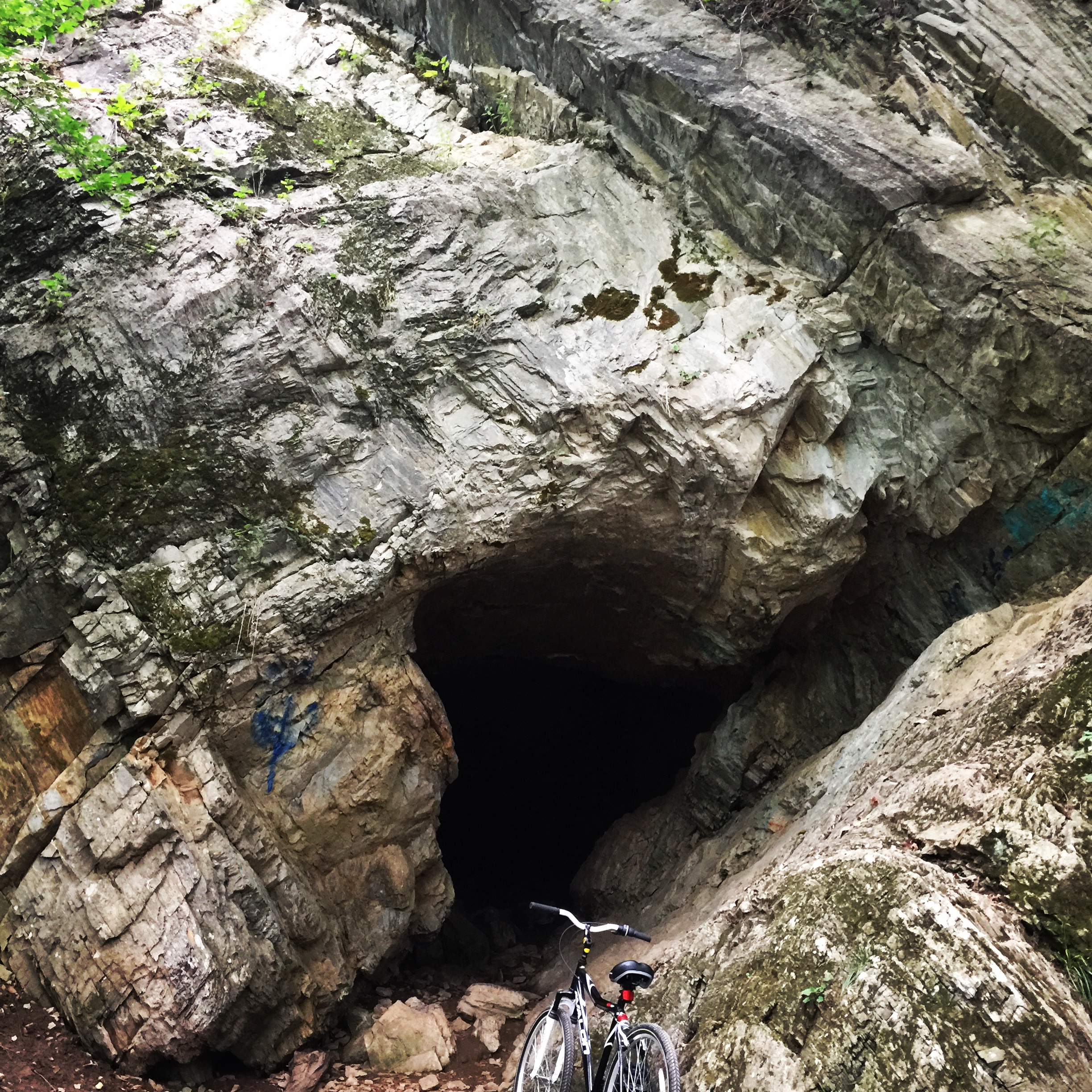
Mile Mark 83.20 – “Bear Cave” a.k.a. “Dam #4 Cave”
Explore if you dare! Sturdy shoes and a BRIGHT flashlight are a good idea.
Mile Mark 83.75
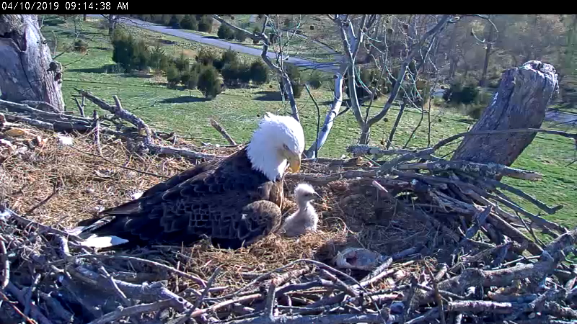
Another favorite area for bald eagle sightings, so be on the lookout & bring your binoculars. The National Conservation Training Center is located across the river from this point and a pair of eagles has their nest on the NCTC grounds. If you don’t catch a live sighting, you can watch the goings-on in the nest via live cam. The most active time is nesting season in the late winter and spring.
Mile Mark 84.50
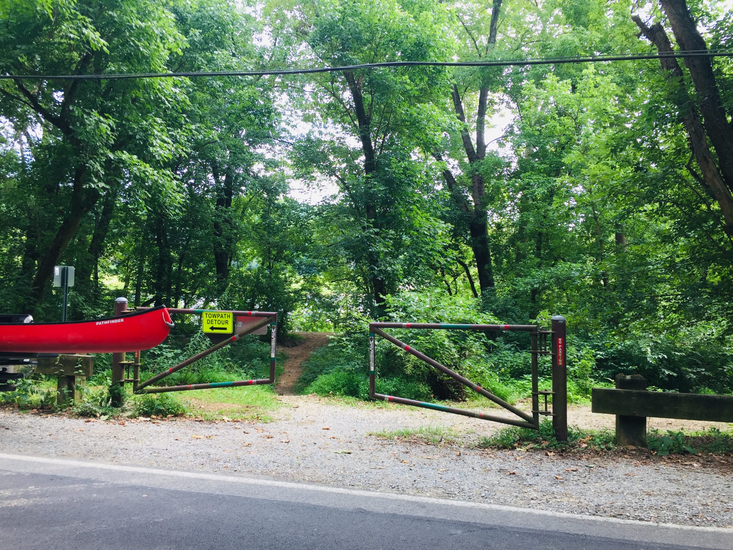
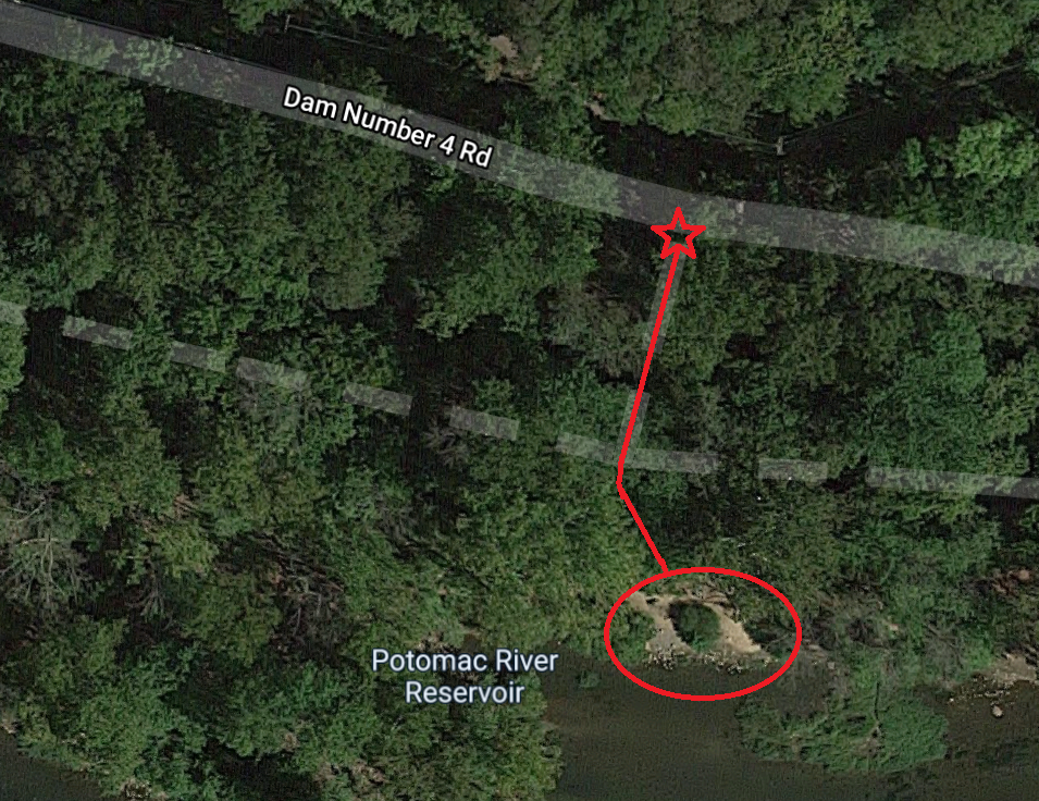
This is probably our favorite put-in spot for a float down the river by canoe, kayak, or even by tube when the water level allows. Unload your gear at the starred location on Dam #4 Road, then walk down the path to the river.
Mile Mark 84.60 – Dam 4
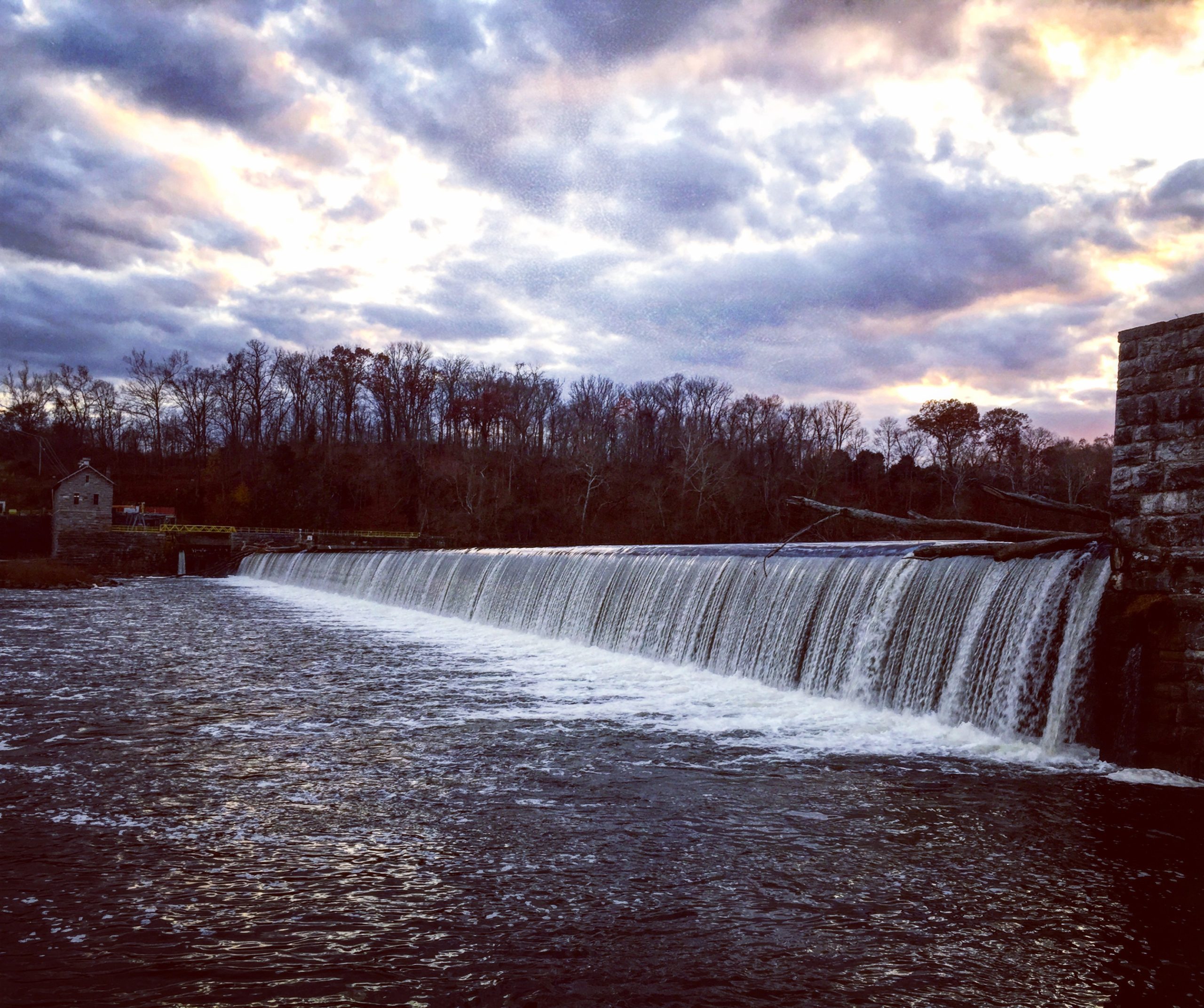
An excellent destination for a long walk or a nice bike ride upstream.
Mile Mark 85.50 – Big Slackwater
Boat ramp with a large parking lot, picnic areas, & restroom for a large flatwater area of the Potomac.
Mile Mark 88.10 – McMahon’s Mill & Waterfall
Small parking lot & restroom.
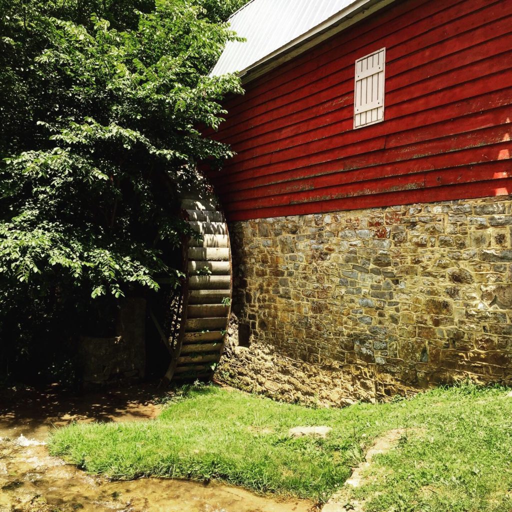
McMahon’s Mill 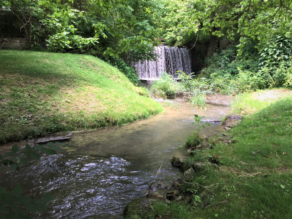
The Waterfall at McMahon’s Mill
Mile Mark 90.80 – Opequan Junction Hiker Biker Campsite
Campsite with a picnic table, fire ring, water pump, and porta-potty.
Mile Mark 94.25 – Falling Waters
The Confederate Army crossed here after the battle at Gettysburg.
Mile Mark 95.25 – Cumberland Valley Hiker Biker Campsite
Campsite with a picnic table, fire ring, water pump, and porta-potty.
Mile Mark 98.50 – I-81 Overpass
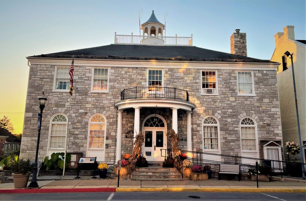
Mile Mark 99.50 – Williamsport, MD
For a taste of small town America, stroll down Williamsport’s main street, Conococheague Street, and browse the little shops and restaurants. Don’t miss the popular Desert Rose Cafe where weary cyclists have been “refueling” themselves for many years.
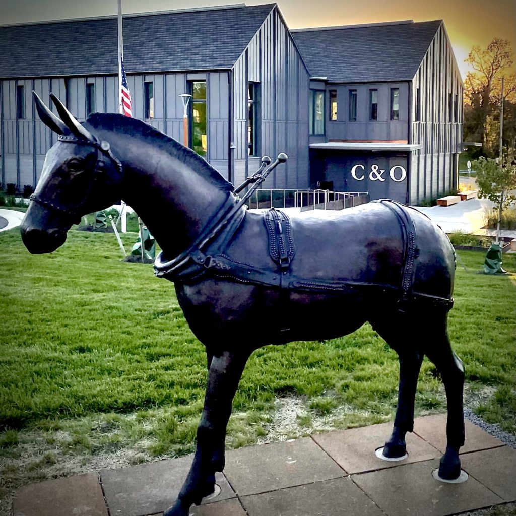
Mile Mark 99.60 – C&O Canal Headquarters
Brand new on the Williamsport scene in 2021 is the beautiful, new C&O Canal Headquarters building. My favorite part is the mule statue standing proudly out front.
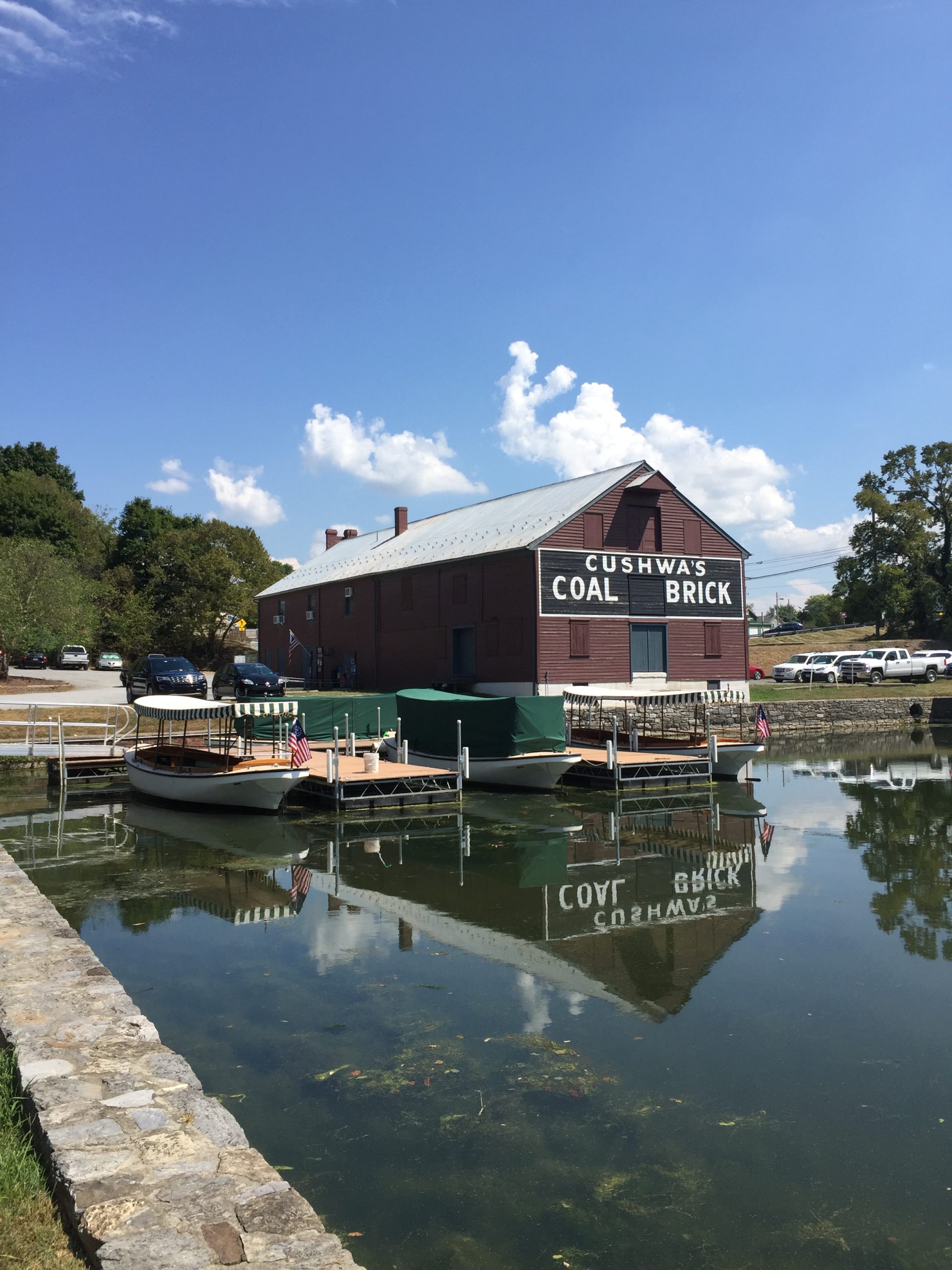
Mile Mark 99.60 – Cushwa Basin
Home to the C&O Canal Visitor’s Center which resides within the historic Cushwa coal & brick warehouse.
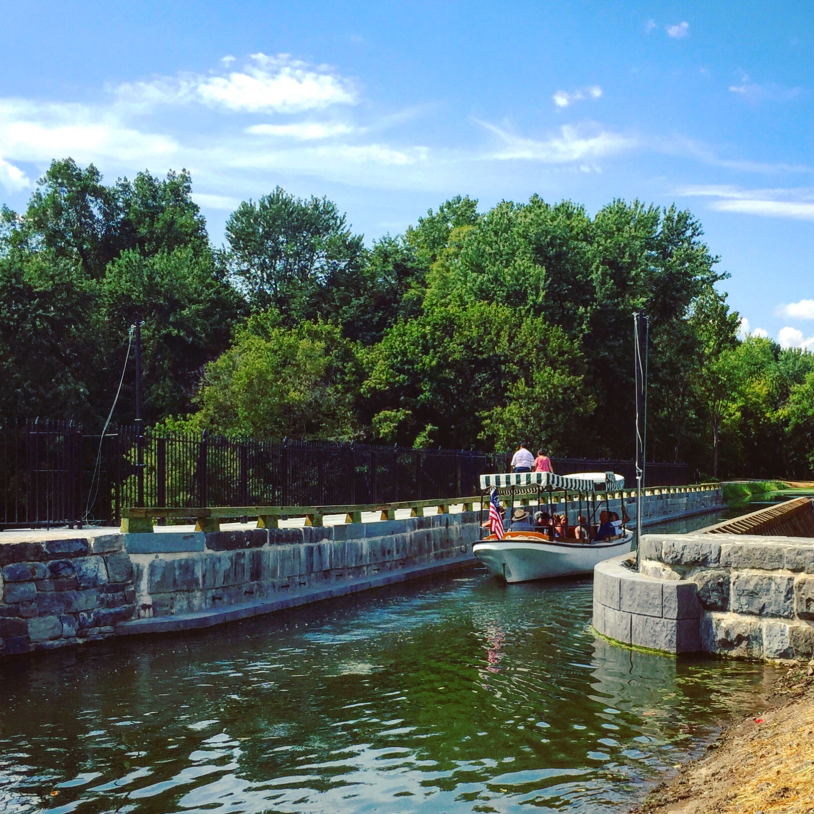
Mile Mark 99.60 – Conococheague Aquaduct
The restored Conococheague aquaduct opened in 2019. Visitors can now ride a launch across the re-watered boat bridge.
Mile Mark 101.25 – Jordan Junction Hiker Biker Campsite
Campsite with a picnic table, fire ring, water pump, and porta-potty.

